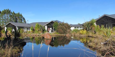
Ōwhango sits approximately 20km south of Taumarunui on State Highway 4 (SH4). The town straddles the Tongariro National Park to the east and the eastern reaches of the Whanganui National Park to the west. Positioned on the 39 South Circle of Latitude, which extends across South America, the southern tip of Australia, and through the heart of Ōwhango, it's also referred to as the 39th Parallel South.
In the earlier days, Ōwhango thrived as a mill town, processing native timbers sourced from the surrounding area. The main trunk line runs alongside the Owhango township and historically served as the primary transportation route for timber and livestock moving north and south to various parts of the country. Unfortunately, the main mill was destroyed by fire in the 1970s. Today, some of the mill houses have been converted into holiday homes, owned by urbanites eager to take advantage of the skiing, fishing, hunting, canoeing, and hiking opportunities that abound in the surrounding area. Presently, the primary industries in Ōwhango are agriculture and tourism.
Ōwhango marks the end of the renowned 42 Traverse mountain bike trail. After completing your ride, commemorate your journey with a photo at the 'selfie wall' located at the historic Ōwhango Old Post Office Lodge.


.jpg)


